 Software > Data analysis > APRIL - Image Analytics Software
Key highlights
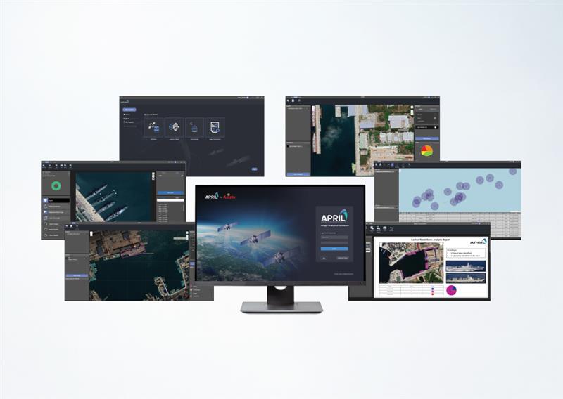
APRIL Image Analytics Software utilizes state-of-the-art AI/ML algorithms coupled with modern Image processing & GIS tools. From Comprehensive AI Processing Chain – Fully automated workflow for seamless data handling to Auto-Generated Quick Analysis Reports – Instant insights with minimal manual intervention.
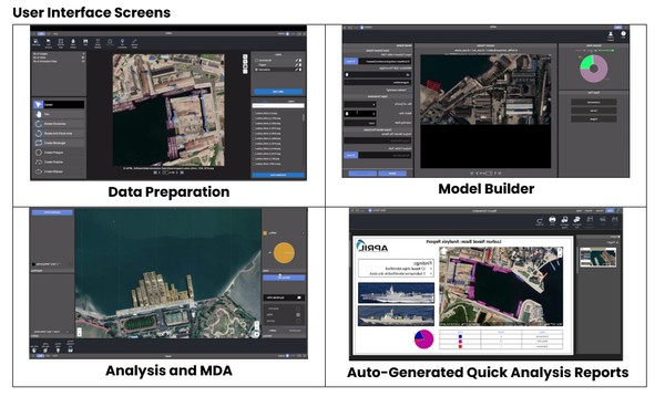
- Data Preparation: Advanced tools like auto annotation, data merging and GISAn intuitive tool for efficient labelling and categorization.
- Model Builder: A user-friendly interface for constructing and refining intricate models, facilitating precise data insights and predictions
- Inference : Ensures seamless image inference, enabling you to effortlessly apply your refined models to new data
- AIS Fusion: Seamlessly fuse AIS with EO or SAR data and perform automated correlation and identify probable Dark ships.
- Report generation tools: Customizable template based on user requirements
Extensive AI model Library, a robust collection of pre-trained model that has High detection Accuracy, ensuring precise and reliable analysis with Multi sensor compatibility, Supports data from diverse remote sensing sensors and platforms.
Applications
- Time Series Analysis
- Terrain and Topography Analysis
- Maritime Surveillance & Domain Analysis
- Change detection and Monitoring
- Anomaly and Threat Detection
- Comprehensive GeoInt Reports
- Object Recognition and Classification
- Urban Infrastructure & Growth Monitoring
- Geospatial Data and Project management
Key features
- Visualise Large Images
- Client-server Architecture
- OGC Standard Compliant
- Completely Offline
- AI- Powered Assistive Tools
- Role Based Access
Disclaimer: satsearch is not responsible for any mistakes on this page, although we do our best to ensure correctness. Please report any mistakes to us.
Last updated: 2026-01-13

Export