 Satellites and subsystems > Satellites as a Service > Satellite Remote Sensing Mineral Exploration Solution
Key highlights
Starpath Global’s Satellite Remote Sensing Mineral Exploration Solution delivers three core capabilities:
· Hyperspectral satellite-based mineral identification
· AI-powered mineral mapping and target delineation
· Integrated satellite-ground verification and mine monitoring
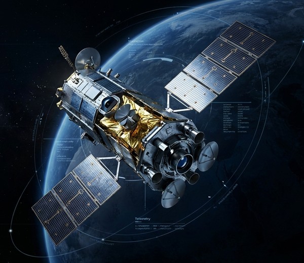
Powered by proprietary hyperspectral remote sensing payloads, AI mineral recognition models, and an advanced exploration platform, the solution supports the full workflow from regional surveys and mineral prospecting prediction to mine safety monitoring. Through large-area rapid scanning and precise identification, it significantly reduces traditional exploration costs while improving discovery efficiency.
Applications
The solution is widely applicable to the exploration of strategic mineral resources such as copper, gold, lithium, and rare earth elements, as well as mine safety monitoring, tailings dam risk warning, ecological restoration assessment, and resource development management.
Key features
· Proprietary hyperspectral satellites covering critical exploration bands from visible light to shortwave infrared
· AI mineral recognition algorithms for automated mineral mapping and anomaly extraction
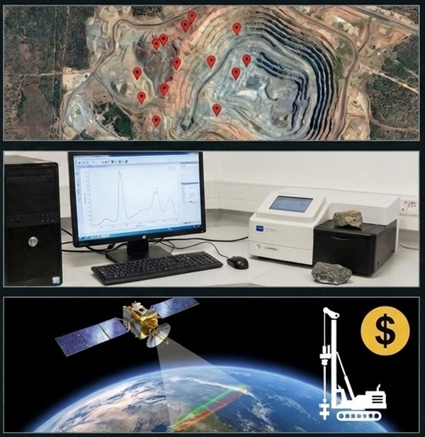
· Satellite-ground collaborative verification system to improve exploration reliability
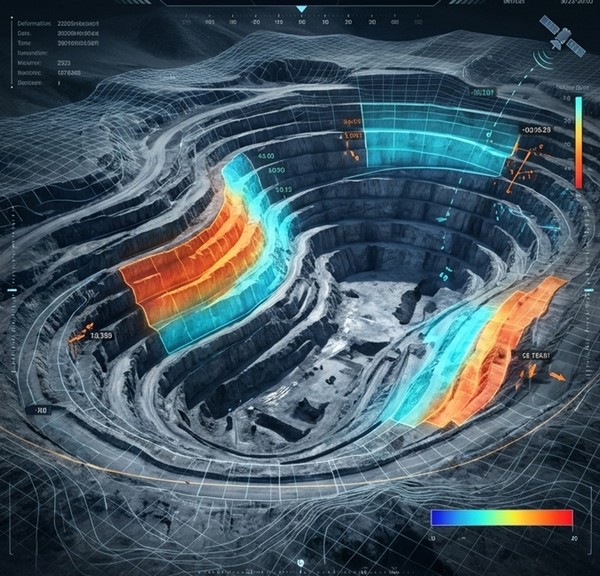
· InSAR deformation monitoring for millimeter-level monitoring of tailings dams and slopes
· Integrated remote sensing platform supporting data management, analytics, and decision-making
Customer Value
Enables clients to rapidly identify high-potential exploration targets, reduce early-stage exploration investment, improve resource discovery efficiency, and enhance mine safety management and sustainable development capabilities.
For more information: https://starpath.global/solutions/mining
Customization
Customized regional exploration services, industry-specific data platforms, tailored algorithm models, and dedicated monitoring system deployment are available based on client requirements.
Disclaimer: satsearch is not responsible for any mistakes on this page, although we do our best to ensure correctness. Please report any mistakes to us.
Last updated: 2026-06-05
Satellite Remote Sensing Mineral Exploration Solution
Export